|
Maps of Portsmouth, Virginia
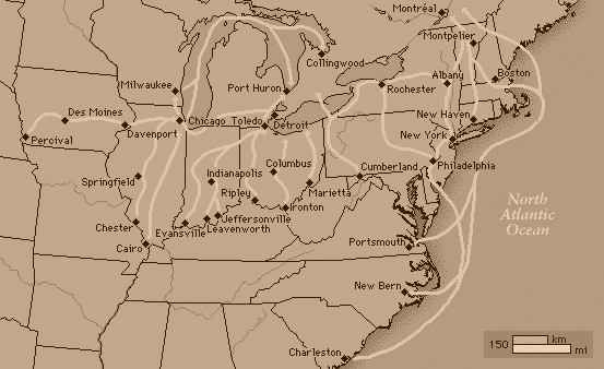
Overview of the Underground Railroad, Showing Portsmouth
This map is a modern production. It shows some of the principle routes taken by enslaved African Americans as they left the slave South for the free North. Reproduced here from the Microsoft encyclopedia at encarta.com [link]
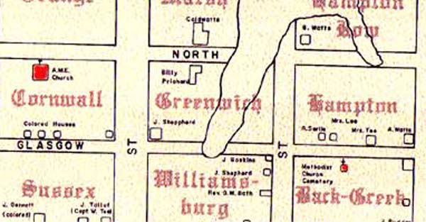
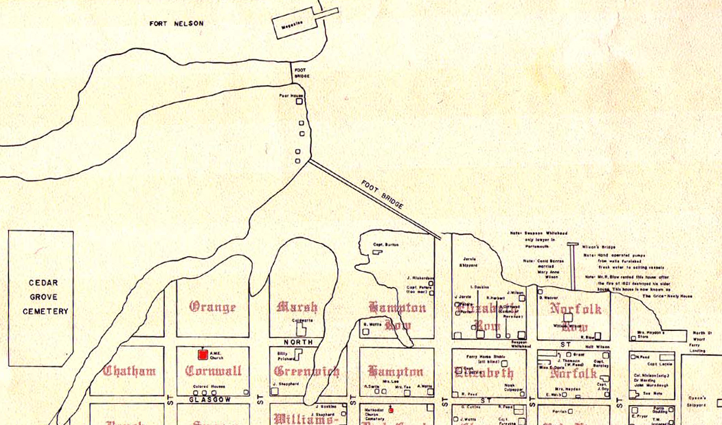
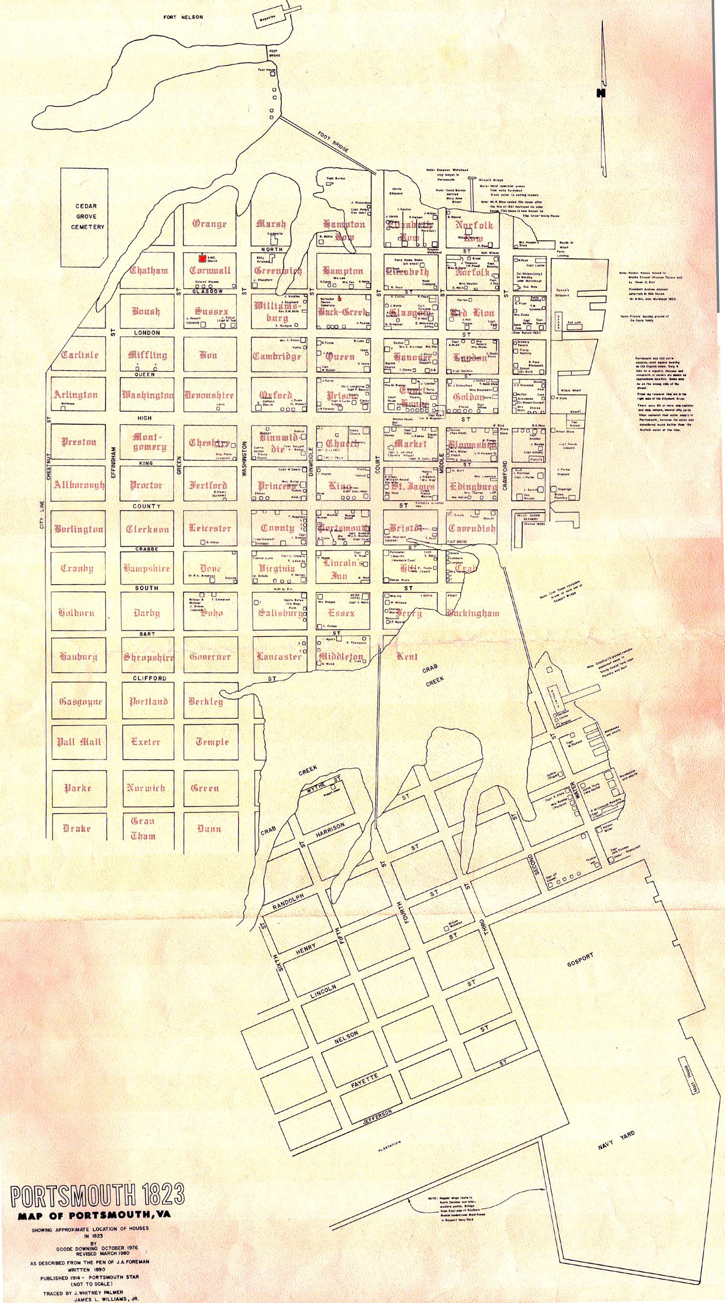
Portsmouth, Virginia, 1823
This map was created by Goode Downing in October, 1976, and it was revised in March, 1980. Based on J.A. Foreman's written account of Portsmouth in 1890, this map shows an approximate location of key buildings and waterways in Portsmouth in 1823.
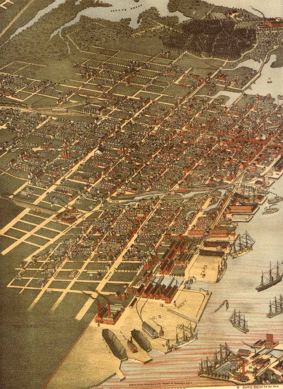
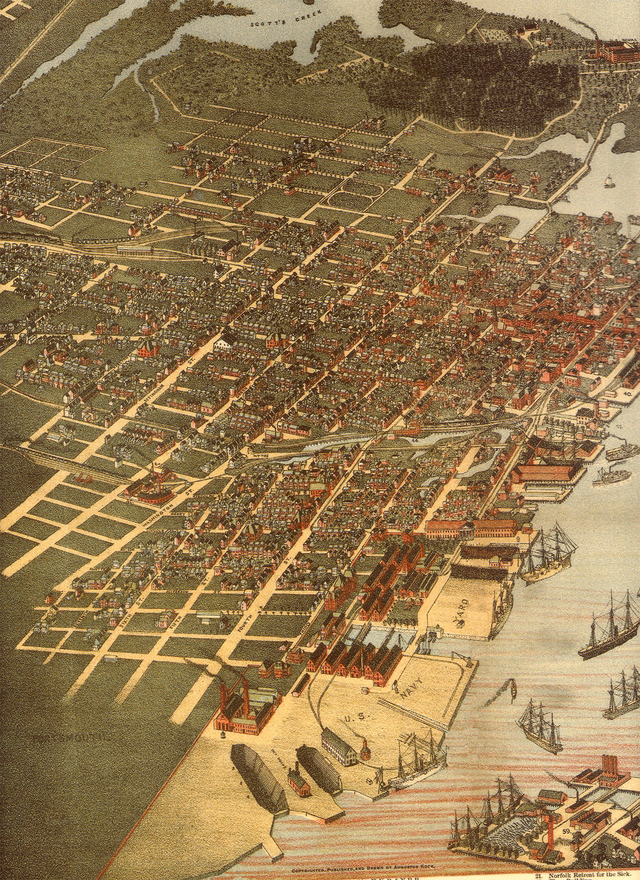
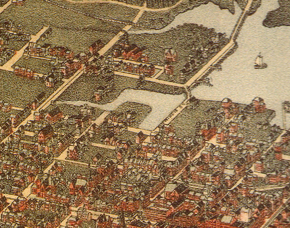
"Bird's Eye View of Portsmouth, Virginia," 1891?
This map was drawn by Augustus Koch, who served as a clerk, draughtsman, and later as an officer in the Union Army during the Civil War. After the fighting, Koch began making Bird's Eye lithographs of cities in the United States. [link].
Bird's Eye View of Norfolk & Portsmouth, Virginia 1873
Drawn and published by C. N. Drie, 1873. This map shows Emanuel A.M.E. church and its proximity to the inlet near North and Green Streets. It also gives an excellent overview of the downtown Portsmouth area.
|


